| Project Type |
Parks & Trails |
| Project Status |
Construction |
| Project Area |
Esquimalt; Langford; Victoria; View Royal |
| Estimated Cost |
$36,000,000 |
| Estimated Start Date |
01-Jan-2009 |
Description
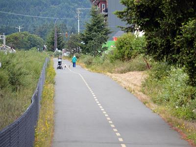
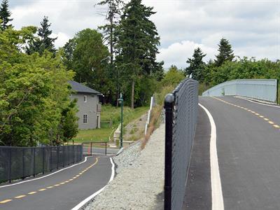
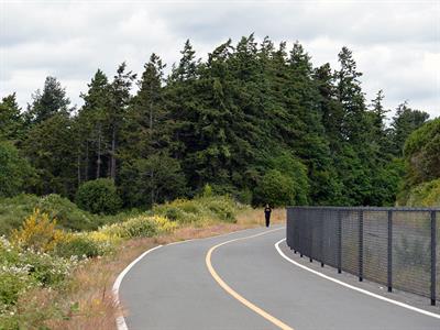
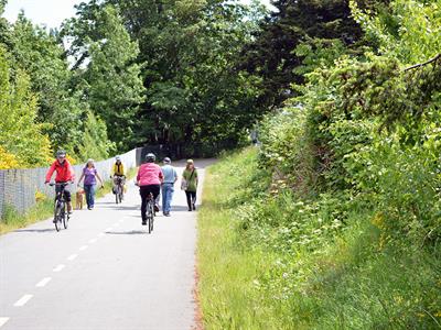
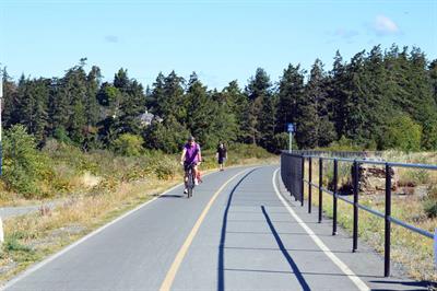
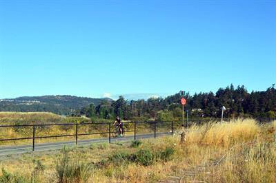
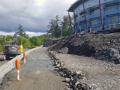
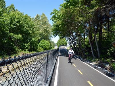
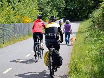
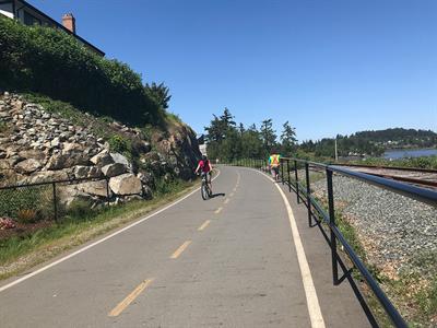
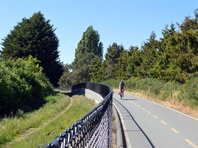
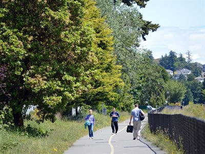
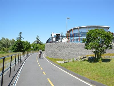
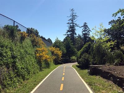
This cycling and pedestrian trail is being constructed largely within the E&N rail corridor. The E&N Rail Trail-Humpback Connector is being built in phases over a number of years and will be 17 kilometres in length when complete. This newest addition to the regional trail system provides an important active transportation and recreation link between Victoria and the Western communities.
Future Construction
Final Phase - Jacklin Road to Humpback Road
The final segment required to complete the E&N Rail Trail is approximately 3.6km in length and is planned to be located between Jacklin Road and Humpback Road in the City of Langford. At present there is no official timing or funding for this phase of trail development.
Frequently Asked Questions
When will the trail be completed?
Trail construction began in 2009 and will take many years to complete. The trail is being constructed in a number of phases and construction will continue until the project is complete, subject to staff and funding availability.
Who is involved in building the trail?
CRD Regional Parks and CRD Environmental Engineering are working with municipal and First Nation partners in Victoria, Esquimalt, View Royal, Langford, Songhees Nation, Esquimalt Nation, and with the Province of BC and Island Corridor Foundation/Southern Rail of Vancouver Island.
How much will it cost?
The overall project value is estimated at $36 million. To-date, about $23 million has been invested in this project.
Where is the money coming from?
The overall trail project has been strongly supported by the federal government through the Regionally Significant Projects, Strategic Priorities Gas Tax funding ($14 million), and the Western Economic Diversification Fund ($1 million), and by the Province of BC through BikeBC ($2.7 million) and Local Motion funding ($275,000). The CRD has covered all costs that are not encompassed by grant funding.
What is the rationale for the order in which the trail is being built?
Due to the significant cost of building the entire trail at one time, a phased approach to trail development was approved by the CRD Board in 2009. Phase 1 was broken into seven project areas, with a portion of the trail in each of the partner municipalities. Phases 2 and 3 linked the trail together. Future phases extend the trail on either end.
Why is it taking so long to build?
The rail trail project is a complex construction project involving the CRD, four municipalities, two First Nations, the rail corridor landowner, the railway operator, and in some cases, utility companies and developers. There are requirements relating to construction, railway operation, underground utilities, and municipal bylaws that must be addressed with each section. As with most construction projects, it takes time to work through the various requirements and processes. For example, the Galloping Goose Regional Trail took approximately ten years to complete.
How does the CRD mitigate environmental impacts from the trail development?
The CRD endeavors to protect significant natural features and minimize environmental impacts along the route to the greatest degree possible. The CRD engages with environmental consultants and engineers in the planning and design stage. The environmental consultant identifies ecological attributes, riparian areas, wildlife and bird habitat, sensitive ecosystems and protected species and provides suggestions to minimize disturbance and to mitigate impacts. Examples of mitigation measures used by the CRD include:
- Install bird nesting boxes to offset reduced habitat and install open barrier fencing to maintain wildlife movement.
- Modify the route alignment to reduce significant tree loss.
- Work with municipalities regarding tree replacement bylaw requirements.
- Obtain necessary permits for working in and around streams.
- Hire an arborist to supervise construction to ensure trees adjacent to the trail corridor are not harmed.
- Salvage key native plants in areas to be disturbed areas for replanting.
- Remove invasive plants from the project area.
- Require construction contractors to use specific tools to protect aquatic environments from construction activity (e.g. erosion and sediment control, spill prevention and response).
- Include environmental monitoring during construction.
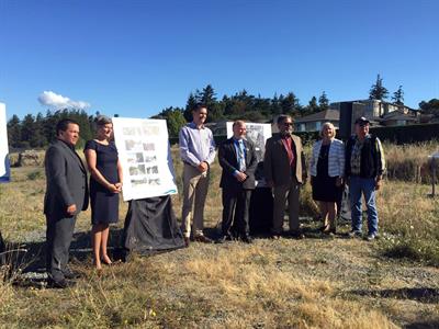
The CRD hosts open houses to illustrate the proposed trail alignment and hear from the public during the design stage. This is an opportunity to raise issues and concerns. The comments are reviewed and considered as the CRD works with the design engineers and environmental consultants to finalize plans prior to construction.
Does the Rail Trail connect to current trails such as the Galloping Goose?
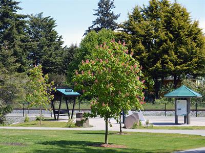
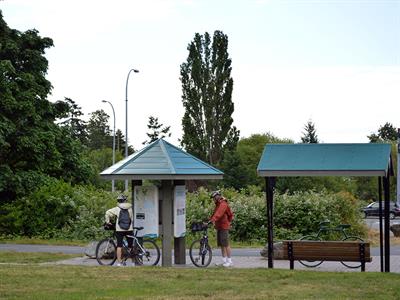
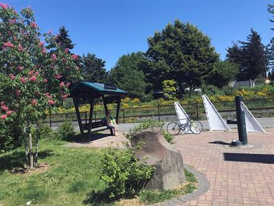
Yes. The E&N Rail Trail is co-located with the Galloping Goose Regional Trail for approximately 2km near the Atkins Avenue parking lot and rest stop. Future municipal and regional trail systems may also connect with the E&N Rail Trail over time.
Why is there a fence between the trail and rail when there is no train running?
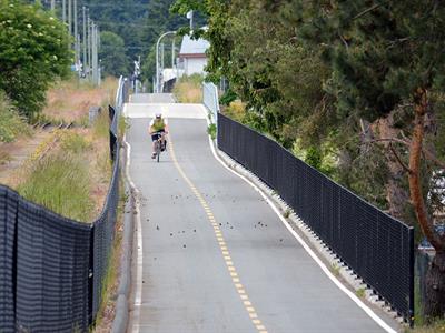
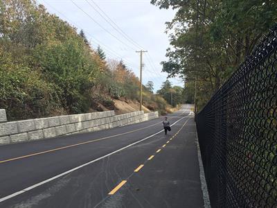
This railway is still officially active, and from time to time, it is used by Island Corridor Foundation or Southern Rail of Vancouver Island for operational purposes. In developing the E&N Rail Trail, the CRD must comply with safety requirements. Along the trail this includes a safety fence, located between the rail line and the trail.
Why are railway crossing upgrades required when there is no train running?
The safety improvements at the rail crossing are required to meet Transport Canada’s Canadian Railway-Roadway Grade Crossings Standards. It includes specific intersection safety upgrades (barriers, signals and pedestrian crossings) which must be put in as part of the trail construction process.
Images
-
Click to view full size image
-
Click to view full size image
-

Click to view full size image
-
Click to view full size image
-
Click to view full size image
-
Click to view full size image
-
Click to view full size image
-
Click to view full size image
-

Trail construction at Esquimalt Rd to Wilson St - Click to view full size image
-
Click to view full size image
-
Click to view full size image
-
Click to view full size image
-
Click to view full size image
-
Click to view full size image
-
Click to view full size image
-
Click to view full size image
-
Click to view full size image
-
Click to view full size image
-
Click to view full size image
-
Click to view full size image
-
Click to view full size image
-
Click to view full size image
-
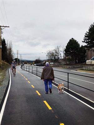
Hallowell trail section - Click to view full size image
-
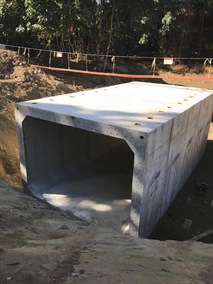
Tunnel - Click to view full size image